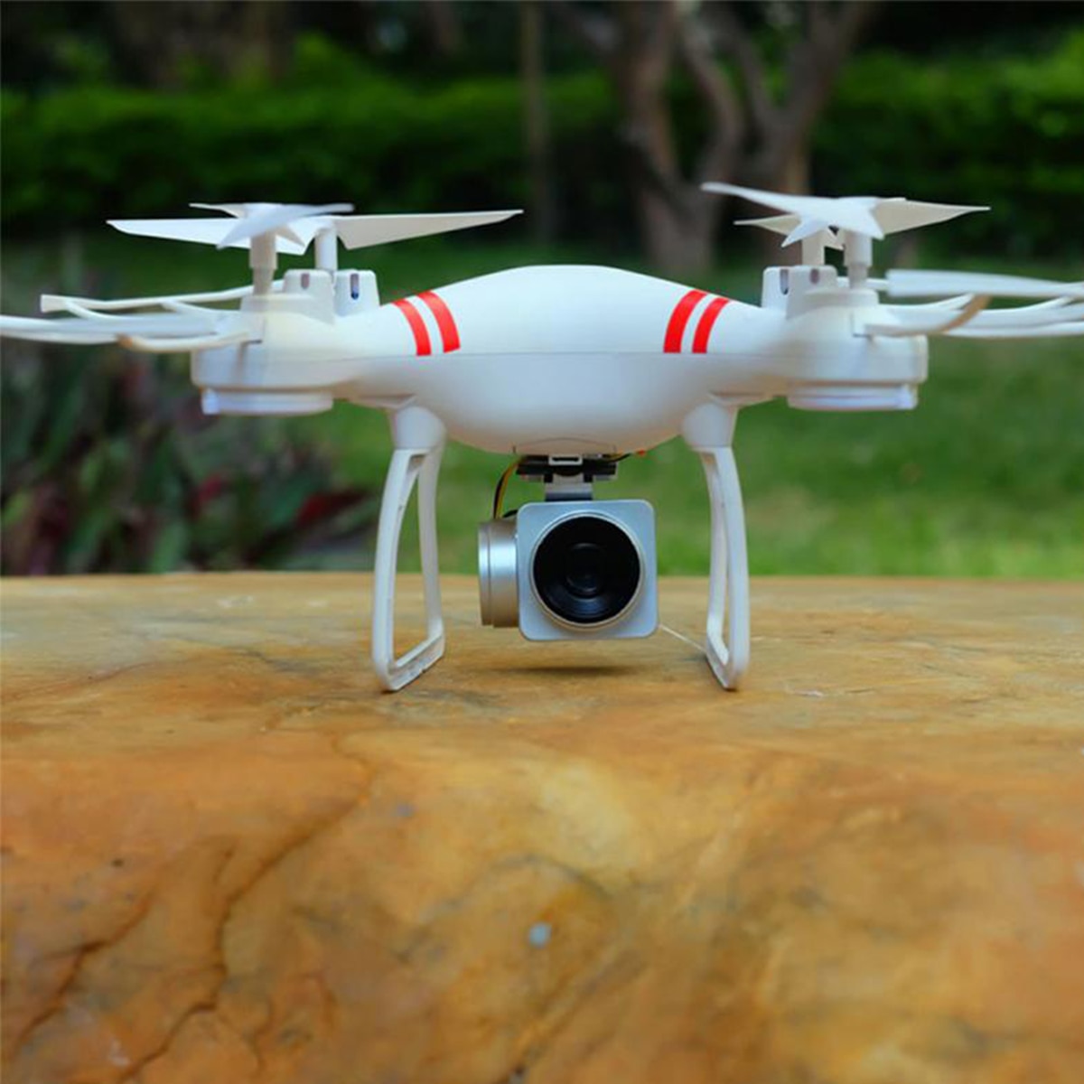
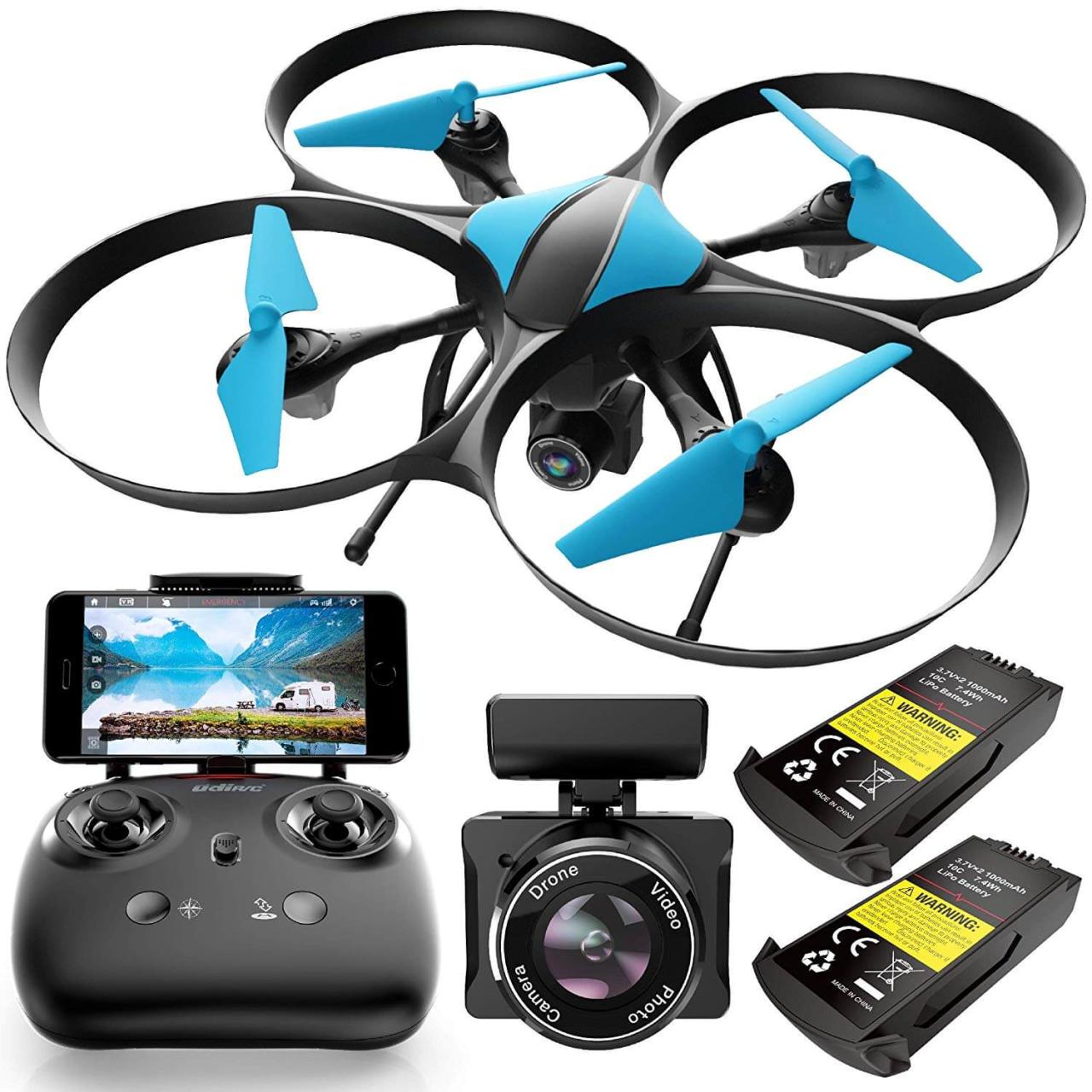
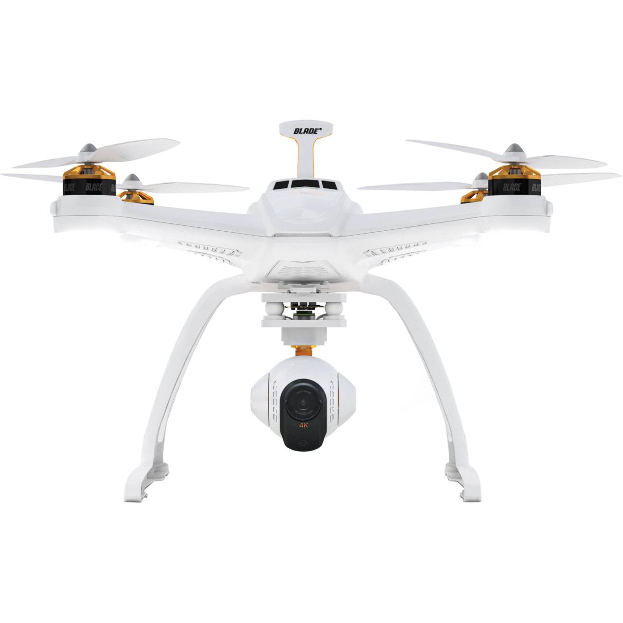
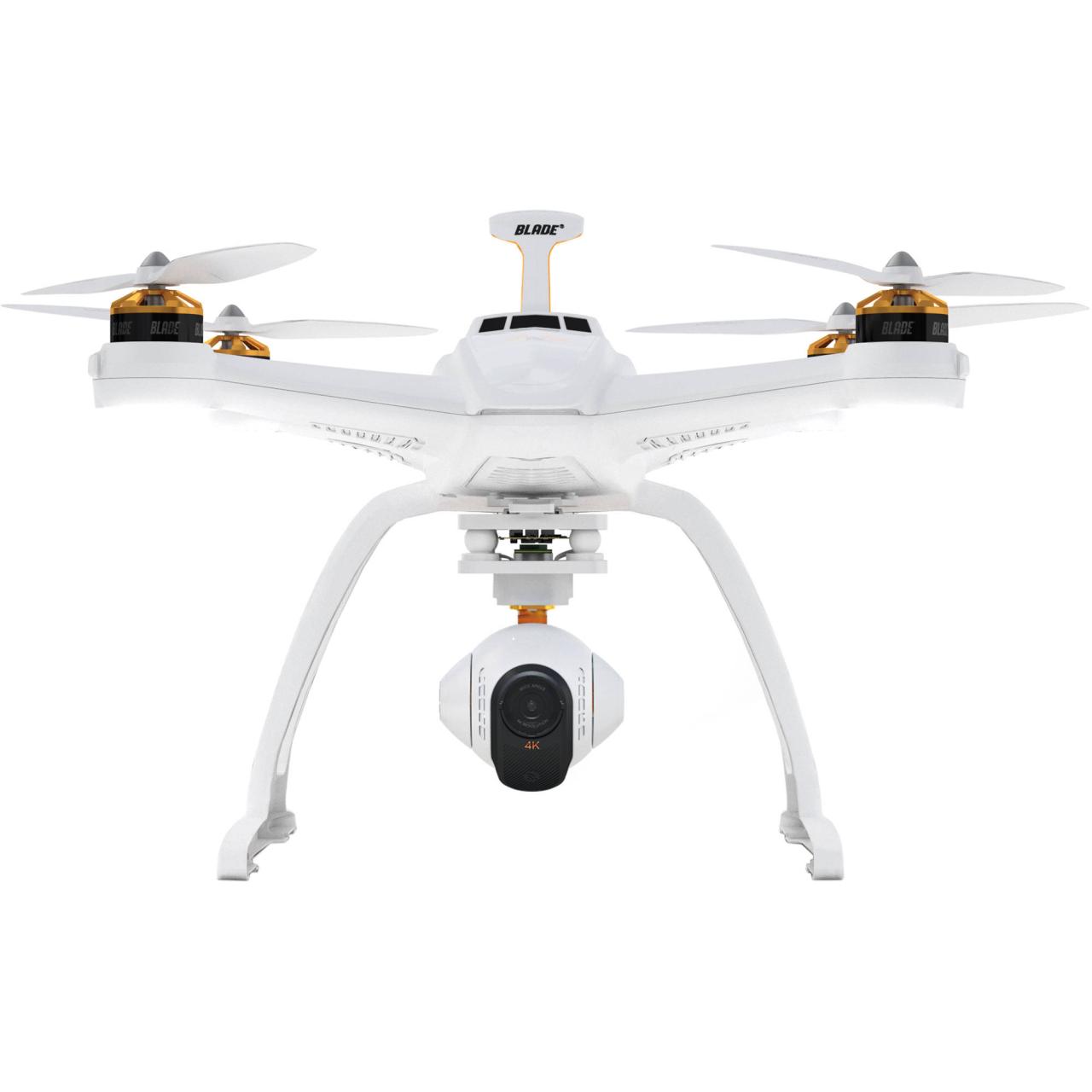
Drone with camera technology has revolutionized various sectors, from filmmaking and real estate to agriculture and infrastructure inspection. This guide delves into the diverse world of drones equipped with cameras, exploring their capabilities, applications, and the legal considerations surrounding their operation. We’ll examine different drone types, camera features, flight capabilities, safety protocols, and post-processing techniques, providing a comprehensive overview for both novice and experienced users.
Understanding the nuances of drone operation is crucial for harnessing their full potential responsibly and legally. This exploration will equip you with the knowledge to select the right drone for your needs, operate it safely, and leverage its capabilities effectively. We’ll cover everything from choosing the appropriate camera specifications to navigating the regulatory landscape.
Types of Drones with Cameras
The world of drone technology offers a diverse range of unmanned aerial vehicles (UAVs), each equipped with varying camera capabilities and designed for specific purposes. Understanding these differences is crucial for selecting the right drone for your needs, whether you’re a hobbyist, professional, or commercial user.
Drone Types Categorized

The following table categorizes drones based on size, features, and intended use. Note that these categories often overlap, and some drones may bridge multiple classifications.
| Type | Size | Key Features | Typical Use |
|---|---|---|---|
| Hobbyist Drone | Small to medium | Compact, easy to fly, basic camera, GPS | Aerial photography, recreational flying, basic videography |
| Professional Drone | Medium to large | High-quality camera, advanced flight modes, obstacle avoidance, long flight time | High-resolution aerial photography, professional videography, mapping, inspection |
| Commercial Drone | Variable, often customized | Payload capacity, specialized sensors (thermal, LiDAR), robust design, advanced software integration | Agriculture, construction, surveying, search and rescue, infrastructure inspection |
Advantages and Disadvantages of Drone Types
Each drone type presents a unique set of advantages and disadvantages.
- Hobbyist Drones: Advantages include affordability and ease of use. Disadvantages include limited camera capabilities and shorter flight times.
- Professional Drones: Advantages include superior image quality, advanced features, and longer flight times. Disadvantages include higher cost and a steeper learning curve.
- Commercial Drones: Advantages include specialized capabilities and payload capacity, suitable for demanding tasks. Disadvantages include high initial investment and the need for specialized training and licenses.
Drone Model Comparison
This comparison chart highlights the specifications of three popular drone models. Note that specifications can vary depending on the specific model and configuration.
| Model | Camera Resolution | Flight Time | Range | Weight |
|---|---|---|---|---|
| DJI Mavic 3 Pro | 5.1K/4K | 46 minutes (approx.) | 15 km (approx.) | 900g (approx.) |
| DJI Mini 3 Pro | 4K | 34 minutes (approx.) | 12 km (approx.) | 249g (approx.) |
| Autel EVO Nano+ | 4K | 28 minutes (approx.) | 10 km (approx.) | 249g (approx.) |
Camera Features and Specifications: Drone With Camera
Drone cameras offer a variety of features impacting image quality and suitability for different applications. Understanding these features is essential for choosing the right drone for your needs.
Camera Feature Impact on Image Quality
Several key camera features significantly influence image quality and application suitability.
- Resolution: Higher resolution (e.g., 4K, 8K) provides greater detail and allows for larger prints or more detailed cropping.
- Sensor Size: Larger sensors generally capture more light, resulting in better low-light performance and dynamic range.
- Field of View (FOV): A wider FOV captures a broader scene, while a narrower FOV provides a closer, more detailed view.
- Image Stabilization: Effective stabilization (mechanical or electronic) minimizes blurring, especially during flight.
High-End vs. Budget-Friendly Drone Cameras
Here’s a comparison of a high-end and a budget-friendly drone camera, highlighting the trade-offs:
- High-End: High resolution (e.g., 8K), large sensor, advanced image stabilization, wide dynamic range, professional color profiles. Example: DJI Mavic 3 Pro’s Hasselblad camera system. Higher cost.
- Budget-Friendly: Lower resolution (e.g., 1080p or 4K), smaller sensor, basic image stabilization, more limited dynamic range. Example: Autel EVO Nano+. Lower cost, but compromises on image quality and features.
Drone Flight Capabilities and Safety
Several factors significantly influence a drone’s flight performance and safety. Understanding these factors is crucial for responsible and effective drone operation.
Factors Influencing Flight Performance
Flight time, range, and stability are influenced by various factors:
- Battery Life: Larger, higher-capacity batteries extend flight time.
- Wind Conditions: Strong winds can reduce flight time, range, and stability.
- GPS Accuracy: Precise GPS is essential for accurate positioning and stable flight, especially for autonomous functions.
Drone Safety Features
Many modern drones incorporate safety features to enhance flight safety:
- Obstacle Avoidance: Sensors detect obstacles and automatically adjust the flight path to avoid collisions.
- Return-to-Home (RTH): The drone automatically returns to its takeoff point if the signal is lost or the battery is low.
- Geofencing: Sets virtual boundaries, preventing the drone from flying beyond a designated area.
Best Practices for Safe Drone Operation
Safe and responsible drone operation is paramount. Adherence to best practices and regulations is crucial.
Always check and comply with local drone regulations before operating your drone. Violating these regulations can result in fines or legal consequences.
- Always check weather conditions before flying.
- Maintain visual line of sight with your drone.
- Never fly near airports or other restricted areas.
- Respect the privacy of others.
Applications of Drones with Cameras
Drones with cameras are transforming various industries, offering efficiency and cost-effectiveness.
Drone Applications Across Industries
Here are examples of how drones are used across various sectors:
- Agriculture: Crop monitoring, precision spraying, livestock management.
- Construction: Site surveying, progress monitoring, inspection of structures.
- Real Estate: Property photography, virtual tours, site assessments.
- Filmmaking: Aerial cinematography, unique perspectives, action shots.
Benefits of Using Drones
Drones offer significant benefits in these industries:
- Increased Efficiency: Drones can cover large areas quickly, reducing the time and resources needed for inspections or data collection.
- Cost-Effectiveness: Drones often provide a more affordable alternative to traditional methods, such as manned aircraft or ground-based surveys.
- Improved Safety: Drones can perform dangerous or difficult tasks without putting humans at risk.
Thermal Camera for Building Inspection, Drone with camera
Imagine a drone equipped with a thermal camera flying over a building. The thermal camera captures infrared radiation, generating a heat map. This heat map visually highlights areas of heat loss or potential structural damage, such as cracks or insulation problems. Inspectors can analyze this data to pinpoint areas needing repair, improving energy efficiency and building safety. Different color gradients on the heat map represent varying temperatures, enabling easy identification of thermal anomalies.
Legal and Regulatory Considerations
Operating drones with cameras requires adherence to various legal and regulatory frameworks, which vary across regions.
Legal Requirements and Regulations
Drone regulations often cover aspects like registration, licensing, airspace restrictions, and data privacy. Failure to comply can result in fines, legal action, and even drone confiscation.
Implications of Violating Regulations

Violating drone regulations can lead to significant consequences, including:
- Fines: Substantial fines can be imposed for violating airspace restrictions or operating without proper authorization.
- Legal Action: Severe violations can result in criminal charges, especially if they involve endangerment or invasion of privacy.
- Drone Confiscation: Authorities may confiscate the drone used in violation of regulations.
Commercial Drone Regulations
This table summarizes key regulations for commercial drone operation in three countries (Note: Regulations are subject to change. Always consult official sources for the most up-to-date information).
| Country | Licensing/Registration | Airspace Restrictions | Operational Requirements |
|---|---|---|---|
| United States | FAA registration required for most drones; Part 107 license for commercial operation | Restrictions near airports, sensitive areas, and populated areas | Visual Line of Sight (VLOS) typically required; adherence to airspace rules |
| Canada | Transport Canada registration required; drone pilot certificate for commercial operation | Similar restrictions as the US | VLOS usually required; adherence to airspace rules |
| United Kingdom | CAA registration required; permissions and approvals needed for commercial operation | Similar restrictions as the US and Canada | VLOS usually required; adherence to airspace rules |
Post-Processing and Image Enhancement
Post-processing plays a vital role in enhancing the quality and visual appeal of drone imagery.
Methods for Enhancing Drone Imagery
Various techniques are used to improve drone photos and videos:
- Color Correction: Adjusting white balance, exposure, and contrast to achieve accurate and visually appealing colors.
- Sharpening: Enhancing image details and clarity.
- Stitching: Combining multiple images to create a panoramic view or high-resolution image.
- Noise Reduction: Minimizing digital noise in low-light images.
Software and Tools
Numerous software applications facilitate drone image and video editing:
- Adobe Photoshop: For photo editing and enhancement.
- Adobe Premiere Pro: For video editing and color grading.
- DaVinci Resolve: A professional-grade video editing and color grading suite.
- DJI Fly App: Basic editing features for DJI drone footage.
Color Grading a Drone Video (Step-by-Step)

This guide Artikels a basic color grading workflow:
- Import Footage: Import your drone video into your chosen editing software.
- Primary Color Correction: Adjust white balance, exposure, and contrast to create a balanced look.
- Color Grading: Use color wheels or curves to fine-tune colors, create a specific mood, or match footage with other shots.
- Secondary Color Correction: Target specific color ranges for more precise adjustments.
- Export: Export your color-graded video in the desired format and resolution.
The integration of cameras into drone technology has unlocked unprecedented possibilities across numerous industries. From capturing breathtaking aerial footage to conducting precise inspections, drones with cameras are transforming how we work and interact with the world. By understanding the various types of drones, their capabilities, safety considerations, and legal implications, we can responsibly utilize this innovative technology for a wide range of applications, ultimately driving efficiency and innovation across diverse sectors.
Drones with cameras offer incredible versatility, from aerial photography to infrastructure inspection. The advancements in this technology are impressive, and companies like archer aviation , known for their innovative aviation solutions, indirectly contribute to this field by pushing the boundaries of flight technology. This ultimately leads to better, more reliable drone platforms for cameras, improving image quality and flight stability.
Safe and responsible operation remains paramount for continued advancement in this field.
Key Questions Answered
What is the flight time of a typical drone with a camera?
Flight time varies greatly depending on the drone model, battery size, and weather conditions. Expect anywhere from 15 minutes to over 40 minutes on a single charge.
Drones equipped with cameras offer incredible aerial perspectives, useful for various applications like surveying and photography. For capturing stunning coastal views, consider the image quality achievable with a high-resolution camera; a great example of such technology can be seen in the impressive capabilities showcased by the port dover camera system. Ultimately, the choice of drone and camera system depends on the specific needs of the project, whether it’s for professional or personal use.
How do I choose the right drone for my needs?
Consider your budget, intended use (photography, videography, inspection), desired camera features (resolution, stabilization), and flight requirements (range, flight time). Research different models and compare specifications.
What are the common causes of drone crashes?
Common causes include battery failure, pilot error, wind conditions exceeding the drone’s capabilities, and collisions with obstacles. Proper pre-flight checks and adherence to safety guidelines are crucial.
Where can I learn more about drone regulations in my area?
Consult your local aviation authority or government website for specific regulations concerning drone operation in your region. These regulations often vary significantly by location.
